A late-August winter weather alert in Alaska is drawing attention after the National Weather Service warned of snow, blowing snow and reduced visibility along part of the Dalton Highway.
The alert is unusual mainly because of its timing and location. It covers a high-elevation section of the Central Brooks Range, where winterlike conditions can develop even while much of Alaska is experiencing rain and temperatures in the 40s and 50s.
The National Weather Service office in Fairbanks issued the advisory for Atigun Pass and a roughly 90-mile portion of the Dalton Highway. The advisory is scheduled to remain in effect until 4 p.m. Alaska Daylight Time on Saturday, August 29, 2026. ([forecast.weather.gov](https://forecast.weather.gov/showsigwx.php?firewxzone=AKZ809&local_place1=Atigun+Pass+AK&product1=Winter+Weather+Advisory&warncounty=AKC185&warnzone=AKZ809&utm_source=openai))
What the advisory says
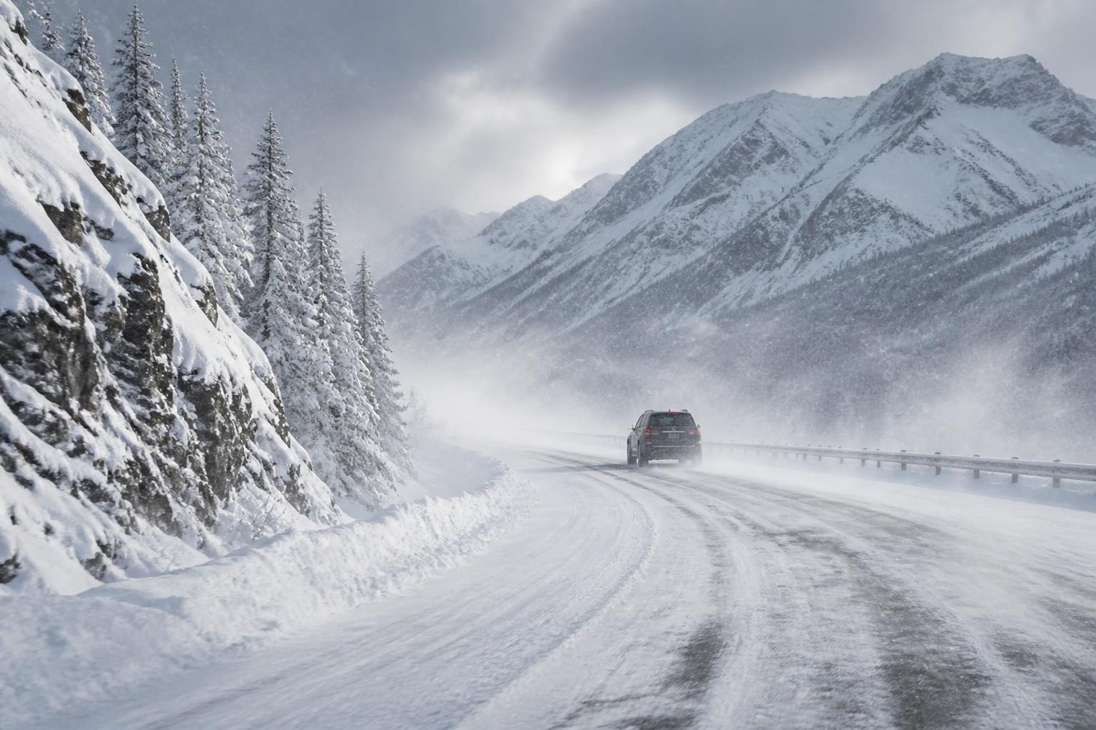
The advisory calls for 4 to 6 inches of snow at or above pass level, wind gusts of up to 30 mph and periods of blowing snow that could reduce visibility to one-half mile or less. The weather service said pockets of wintry mix are also possible and warned that travel could be difficult. ([forecast.weather.gov](https://forecast.weather.gov/showsigwx.php?firewxzone=AKZ809&local_place1=Atigun+Pass+AK&product1=Winter+Weather+Advisory&warncounty=AKC185&warnzone=AKZ809&utm_source=openai))
The most affected area includes Atigun Pass, Anaktuvuk Pass, Galbraith Lake and the Dalton Highway from milepost 232 to milepost 322. Atigun Pass is the primary focus of the alert because of its elevation and exposure to changing weather.
Forecast details issued Friday afternoon called for snow showers Saturday morning, with less than an inch of additional accumulation during the day. The forecast placed Saturday’s high in the upper 30s, followed by overnight lows in the mid to upper 20s. ([forecast.weather.gov](https://forecast.weather.gov/product.php?format=CI&glossary=1&issuedby=NSB&product=ZFP&site=SJT&version=1&utm_source=openai))
Why a winter alert is possible in August
Atigun Pass sits high in the Brooks Range, where temperatures can fall below freezing even during the summer. As moist air moves across the mountains, precipitation that falls as rain at lower elevations can change to snow near and above the pass.
The weather service said snow initially was expected above about 2,500 feet, with the snow level rising toward 4,000 feet Friday afternoon. That leaves the highest parts of the highway vulnerable to accumulating snow while lower sections remain wet or see rain. ([forecast.weather.gov](https://forecast.weather.gov/showsigwx.php?firewxzone=AKZ809&local_place1=Atigun+Pass+AK&product1=Winter+Weather+Advisory&warncounty=AKC185&warnzone=AKZ809&utm_source=openai))
This kind of elevation-driven change can make conditions vary quickly over a relatively short distance. A driver may encounter rain at lower elevations, then wet snow, reduced visibility and slick pavement while climbing toward the pass. The transition can be especially challenging when temperatures hover near freezing and wet surfaces later refreeze.
The alert is an advisory, not a warning
Some online headlines have referred broadly to a “winter weather warning,” but the current National Weather Service product for Atigun Pass is a Winter Weather Advisory. That distinction matters.
A winter weather advisory generally means that conditions could cause inconvenience or make travel difficult, while a warning is used for more serious conditions that pose a substantial threat to life or property. The exact criteria vary by location because snowfall, ice and wind have different effects in different climates and terrain.
In this case, the advisory identifies difficult travel, accumulating snow and visibility reductions as the main concerns. It does not mean that every road in Alaska or every part of the Dalton Highway is experiencing severe winter conditions.
A narrow, remote travel problem
The advisory covers a limited section of the Dalton Highway rather than a large portion of the United States. The road is remote, has long stretches without cellular service and includes few places to obtain fuel or assistance.
The National Weather Service advised travelers to slow down, use caution and check Alaska’s 511 road-information system for current conditions. That guidance is especially important because road conditions can change faster than a general forecast suggests. ([forecast.weather.gov](https://forecast.weather.gov/showsigwx.php?firewxzone=AKZ809&local_place1=Atigun+Pass+AK&product1=Winter+Weather+Advisory&warncounty=AKC185&warnzone=AKZ809&utm_source=openai))
Remote-road travelers should consider whether a trip can be delayed, confirm that their vehicle is equipped for cold and snow, and carry emergency supplies. Drivers should not assume that four-wheel drive or all-wheel drive will eliminate the risk. Those systems can help with traction when moving, but they do not guarantee shorter stopping distances or control on icy pavement.
Strong winds are affecting another Alaska route
The same broader weather system also produced a separate high wind warning for part of the eastern Alaska Range. That warning covered the Richardson Highway from milepost 224 to milepost 259, including areas near Black Rapids and Donnelly Dome.
The National Weather Service forecast south winds of 35 to 45 mph with gusts up to 70 mph through 10 p.m. Friday, August 28. The agency warned that strong winds could make driving difficult, particularly for high-profile vehicles, and could blow down tree limbs or cause isolated power outages. ([forecast.weather.gov](https://forecast.weather.gov/product.php?issuedby=AFG&product=NPW&site=NWS&utm_source=openai))
The Richardson Highway warning and the Atigun Pass winter weather advisory apply to different parts of Alaska and different hazards. The high wind warning is not a second winter storm warning for the Dalton Highway, and the two alerts should not be treated as one continuous event across the state.
What happens after Saturday
The latest zone forecast suggests that snow showers could continue intermittently after the advisory ends, although significant additional accumulation was not expected in the immediate forecast period. Sunday’s forecast called for a mix of rain and snow showers, followed by more rain showers later in the day and little or no additional snow accumulation. ([forecast.weather.gov](https://forecast.weather.gov/product.php?format=CI&glossary=1&issuedby=NSB&product=ZFP&site=SJT&version=1&utm_source=openai))
That outlook remains subject to change, especially in mountainous terrain. Small shifts in temperature, storm track or snow level can determine whether precipitation accumulates on the roadway or melts after falling.
Travelers should rely on updated forecasts and road reports rather than an earlier headline or a single screenshot of a forecast map. The National Weather Service can extend, cancel or modify an alert as conditions evolve.
What people should know about the trend
The phrase “winter weather warning” is trending because several weather-focused reports highlighted the combination of snow and unusually strong winds in Alaska. But the verified situation is more specific: a winter weather advisory is affecting the high terrain around Atigun Pass, while a separate high wind warning applies to part of the Richardson Highway.
For most people outside those remote corridors, the alert does not indicate a nationwide winter storm. Its practical importance is concentrated among drivers, commercial operators and residents traveling through the affected mountain routes.
The broader lesson is that winter weather products are location-specific. Before traveling, people should identify the exact alert type, affected roads, start and end times, expected precipitation and likely visibility. Those details provide a more accurate picture than a generalized phrase such as “winter weather warning.”