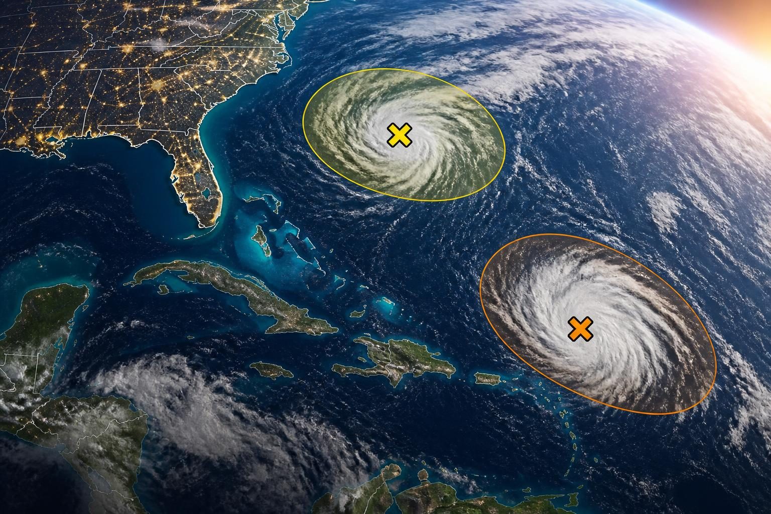
Severe weather concerns are drawing attention Thursday, August 27, 2026, as forecasters monitor the potential for strong thunderstorms across parts of the Mid-Atlantic and Northeast. The National Weather Service says scattered severe thunderstorms are possible through Thursday evening in portions of northern and central Virginia, eastern West Virginia and central and western Maryland. The primary concerns include damaging wind gusts and large hail, with an isolated tornado not ruled out in some areas. ([forecast.weather.gov](https://forecast.weather.gov/showsigwx.php?firewxzone=VAZ051&lat=38.47&local_place1=Culpeper+VA&lon=-78.01&product1=Severe+Thunderstorm+Watch&warncounty=VAC047&warnzone=VAZ051&utm_source=openai))
In the Philadelphia region, the National Weather Service’s Mount Holly office has a flood watch in effect for Thursday afternoon into early Friday, covering Philadelphia and surrounding areas. The agency says one to two inches of rain are possible, with locally higher amounts. Heavy rain can create flash-flooding problems even when a severe thunderstorm watch is not in effect. ([forecast.weather.gov](https://forecast.weather.gov/showsigwx.php?firewxzone=PAZ103&lat=40.1686&local_place1=Royersford+PA&lon=-75.5236&product1=Severe+Thunderstorm+Warning&warncounty=PAC091&warnzone=PAZ103&utm_source=openai))
The phrase “severe thunderstorm watch” is likely drawing searches because people want to know whether storms are approaching their communities and what action, if any, they should take. A watch is an alert about favorable conditions; it is not confirmation that severe weather is happening at a specific location.
What a severe thunderstorm watch means
A severe thunderstorm watch means atmospheric conditions are favorable for severe thunderstorms to develop within and near a designated area during a stated period. The watch area can include multiple counties, cities or parts of several states.
Under National Weather Service criteria, a severe thunderstorm generally involves wind gusts of at least 58 mph, hail at least 1 inch in diameter, or both. A watch does not mean every location inside the area will experience severe weather. It means residents should be prepared to receive more specific alerts and should monitor changing conditions.
The location, timing and intensity of storms remain uncertain during a watch. Some communities may see only heavy rain and lightning, while others could experience damaging wind, large hail, a tornado or flash flooding. The exact hazards depend on how storms form and move.
Watch versus warning: The difference matters
Severe thunderstorm watch
A watch covers a broad area and usually lasts for several hours. It signals an elevated risk and gives people time to review plans, secure loose outdoor items and identify a safe place to shelter.
Severe thunderstorm warning
A warning is more urgent. It means a severe thunderstorm has been detected by radar or reported by trained observers, and that storm is occurring or expected soon in a specific location. People in the warning area should take protective action immediately.
A warning may identify threats such as 60 mph or stronger wind gusts, large hail or a possible tornado. Warnings are typically issued for smaller areas and shorter periods than watches.
For tornado threats, the National Weather Service issues a separate tornado warning. A severe thunderstorm warning does not automatically mean a tornado is occurring, although severe thunderstorms can produce tornadoes.
Why the current weather setup is drawing attention
The current concern is not based on one single confirmed event across the entire region. Instead, forecasters are watching a setup capable of producing scattered thunderstorms, heavy rainfall and isolated pockets of more dangerous weather.
The National Weather Service office serving northern and central Virginia, central and western Maryland and nearby areas says storms could produce damaging wind gusts and large hail through Thursday evening. It also says an isolated tornado cannot be ruled out along and north of Interstate 70 and east of the Blue Ridge. Those are forecast possibilities, not a confirmation that a tornado will occur in every listed area. ([forecast.weather.gov](https://forecast.weather.gov/showsigwx.php?firewxzone=VAZ051&lat=38.47&local_place1=Culpeper+VA&lon=-78.01&product1=Severe+Thunderstorm+Watch&warncounty=VAC047&warnzone=VAZ051&utm_source=openai))
Farther north, the Mount Holly office’s flood watch includes Philadelphia, parts of southeastern Pennsylvania, New Jersey and Delaware. The office says rainfall totals of one to two inches are possible, with localized higher amounts. Repeated storms over the same area can overwhelm drainage systems, streams and low-lying roads. ([forecast.weather.gov](https://forecast.weather.gov/showsigwx.php?firewxzone=PAZ103&lat=40.1686&local_place1=Royersford+PA&lon=-75.5236&product1=Severe+Thunderstorm+Warning&warncounty=PAC091&warnzone=PAZ103&utm_source=openai))
That combination helps explain why searches may use several related terms, including severe thunderstorm watch, flash flood warning, severe thunderstorm warning and tornado risk. These alerts address different hazards and can be issued at different times for overlapping locations.
What people should do during a watch
A watch is a preparation message. People inside or near the watch area should take a few practical steps before storms arrive:
- Check the exact alert area and expiration time. Weather watches are not nationwide alerts. Confirm whether your county, city or travel route is included.
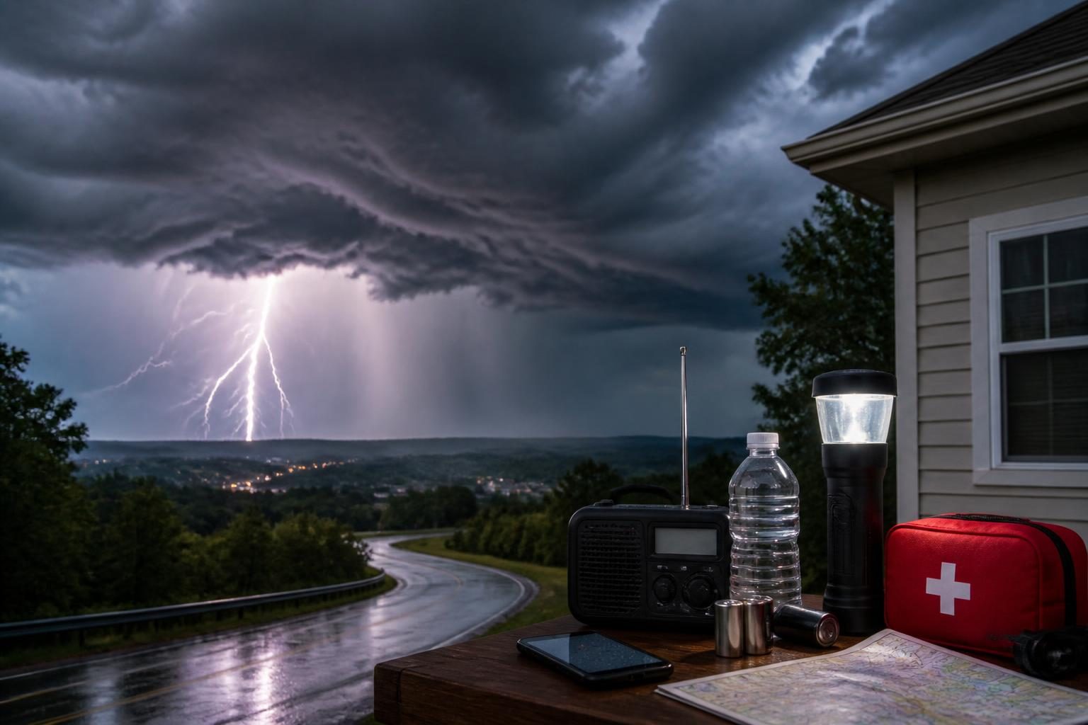
- Enable emergency alerts. Keep Wireless Emergency Alerts turned on and use a reliable weather radio or National Weather Service-connected app for updates.
- Know where to shelter. Move indoors before storms arrive. The safest location is a sturdy building, away from windows. A basement is preferable when a tornado warning is issued; otherwise, use a small interior room on the lowest practical floor.
- Secure outdoor objects. Bring in or tie down patio furniture, umbrellas, trash cans and other items that could become airborne in strong winds.
- Charge phones and check on others. Older adults, young children, people with disabilities and neighbors without reliable transportation may need additional time or assistance.
- Avoid unnecessary travel during the worst conditions. Heavy rain can sharply reduce visibility, while wind and hail can make driving dangerous.
What to do if a warning is issued
If a severe thunderstorm warning is issued for your location, move inside immediately and stay away from windows. Do not wait to see the storm before taking cover. Strong winds can damage roofs, siding, trees and power lines, and hail can break windows and injure people outdoors.
If a tornado warning is issued, go to a basement or an interior room on the lowest floor, placing as many walls as possible between you and the outside. Protect your head and neck with your arms, a mattress, a helmet or other padding if available.
People in vehicles should not shelter under an overpass. If a warning is issued while driving, the safest choice is generally to reach a sturdy building. If that is not possible, pull over safely, keep the seat belt fastened and follow official guidance. Never drive through flooded roadways.
Flooding can be dangerous even without a severe storm
Thunderstorm alerts and flood alerts should be treated separately. A storm does not need to meet severe-wind or hail criteria to produce dangerous flooding. Conversely, a severe thunderstorm can cause damaging wind or hail without producing significant flooding.
Never walk or drive through floodwater. Water can conceal washed-out roads, debris and downed power lines, and a relatively shallow current can move a vehicle. Follow evacuation instructions from local officials and turn around when a road is covered by water.
People in urban areas should pay attention to rapidly rising water in underpasses, streets and drainage channels. Those living near small streams or low-lying areas should be prepared for conditions to change quickly if storms repeatedly pass over the same location.
What happens next
Forecasters will continue to refine the timing and location of storms during the day. A broad outlook may be followed by a severe thunderstorm watch, then by localized warnings as storms develop. Some watches may be canceled early if the threat diminishes; others may be extended or replaced by warnings in specific areas.
Because alerts can change quickly, residents should rely on current National Weather Service products and local emergency-management instructions rather than older social-media posts or screenshots. Google says its Trending Now tool reflects recent surges in searches and can group related queries, but a search trend by itself does not establish that a particular alert is active or that severe weather is occurring at a specific address. ([support.google.com](https://support.google.com/trends/answer/3076011?hl=en&utm_source=openai))
The key distinction is simple: a watch means prepare and stay informed; a warning means act now. Anyone in an area with thunderstorms, heavy rain or official alerts should check the latest local forecast before traveling and be ready to move indoors quickly.