WFLA is trending Monday, August 24, 2026, as people look for the latest information about tropical weather in the Atlantic and possible impacts on Florida. The verified update is that the National Hurricane Center is monitoring two areas that could develop into tropical depressions later this week. However, the agency says there are no active tropical cyclones in the Atlantic at this time, and neither system has a forecast track showing a threat to Florida.
The interest reflects the timing of the hurricane season, the proximity of one disturbance to Bermuda and the possibility of another system emerging from the eastern tropical Atlantic. It does not mean a named storm is headed for the United States. The National Hurricane Center’s latest outlook is the best source for formation probabilities, watches, warnings and forecast changes. ([prod-east-nhc.woc.noaa.gov](https://prod-east-nhc.woc.noaa.gov/gtwo.php?basin=atlc&fdays=7))
What the latest forecast says
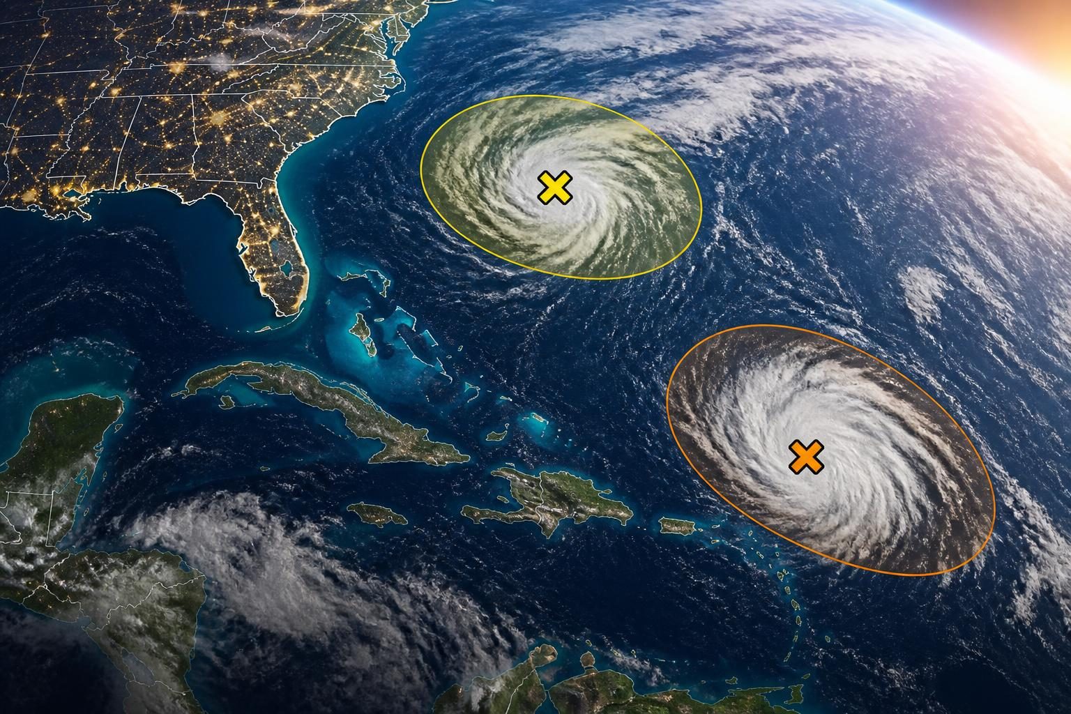
In its 8 a.m. EDT Tropical Weather Outlook on Monday, the National Hurricane Center identified two areas in the Atlantic basin:
- Central subtropical Atlantic: A broad low-pressure area a few hundred miles east-southeast of Bermuda is becoming better organized. The system could become a short-lived tropical depression or tropical storm during the next couple of days as it moves north and north-northeast, well northeast of Bermuda. The formation chance is listed as 50% through 48 hours and 50% through seven days.
- Eastern tropical Atlantic: A tropical wave and an associated area of low pressure have moved offshore from West Africa. The system has disorganized showers and thunderstorms, and environmental conditions may support gradual development. The National Hurricane Center gives it a 20% chance of formation through 48 hours and a 60% chance through seven days.
These percentages describe the chance that a tropical cyclone will form. They do not describe the probability of a Florida landfall, the strength of a future storm or the likelihood of impacts in a particular community. ([prod-east-nhc.woc.noaa.gov](https://prod-east-nhc.woc.noaa.gov/gtwo.php?basin=atlc&fdays=7))
Why the topic is drawing attention
Late August is close to the climatological peak of Atlantic hurricane activity, when weather watchers routinely monitor tropical waves leaving Africa and disturbances in the central Atlantic. The National Hurricane Center’s daily outlooks can change as thunderstorms organize, wind patterns shift and computer forecast models receive new observations.
The WFLA search trend appears connected to that information cycle and to local interest in whether a developing system could affect Florida. WFLA is a Tampa Bay-area television news outlet, so searches for the station commonly rise when residents want local explanations of national hurricane-center forecasts. That connection is an inference from the timing of the trend and the supplied search results; the available sources do not establish a single reason every person searched for “WFLA.”
Weather coverage can also cause confusion because early headlines often use terms such as “tropical wave,” “low-pressure area” and “potential tropical depression.” Those terms indicate stages of organization, not necessarily a storm that will strengthen or make landfall.
What is confirmed — and what is not
Confirmed
- The National Hurricane Center is monitoring two Atlantic areas for possible tropical development.
- The disturbance near Bermuda has a medium, 50% formation chance in both the two-day and seven-day outlooks.
- The eastern Atlantic disturbance has a low, 20% chance of formation in two days and a medium, 60% chance in seven days.
- No tropical cyclone is currently active in the Atlantic basin, according to the latest outlook.
- The system near Bermuda is forecast to move north or north-northeast, well northeast of Bermuda.
Not confirmed
- There is no confirmed storm named Dolly associated with either disturbance.
- There is no confirmed Florida landfall or forecast showing a direct threat to the state.
- There is no basis yet for predicting a storm’s eventual intensity, exact track or local impacts.
The name “Dolly” may appear in online discussion because Atlantic storm names are assigned only after a system reaches tropical-storm strength. A disturbance does not receive a name simply because it has a formation chance. The National Hurricane Center has not identified either of Monday’s Atlantic areas as a named tropical storm. ([prod-east-nhc.woc.noaa.gov](https://prod-east-nhc.woc.noaa.gov/gtwo.php?basin=atlc&fdays=7))
How to read the formation percentages
The National Hurricane Center uses formation probabilities to communicate how likely it is that a disturbance will become a tropical depression or stronger tropical cyclone within a specified period. A 60% seven-day chance means forecasters see a meaningful possibility of development, but it also means formation is not certain.
Seven-day formation forecasts are especially limited when a system is still a cluster of thunderstorms or a tropical wave. Forecasters must evaluate whether the system can develop a closed circulation, maintain organized thunderstorms and remain in an environment with favorable winds and moisture. A disturbance can weaken, merge with another weather feature, move over unfavorable waters or develop farther from the United States than early maps might suggest.
For residents, the formation chance should be treated as an indicator of monitoring needs, not as an impact forecast. The relevant questions are whether watches or warnings have been issued, where the system is expected to move and what local emergency managers and the National Weather Service are forecasting.
What Florida residents should do now
There is no indication in the current federal outlook that Florida residents need to evacuate or make emergency travel changes because of these two disturbances. Still, hurricane preparation is most effective before a storm threatens a specific location.
- Check whether emergency alerts are enabled on your phone.
- Review your household emergency plan, including plans for pets, older adults and people with medical needs.
- Confirm that insurance, identification and essential medical information are accessible.
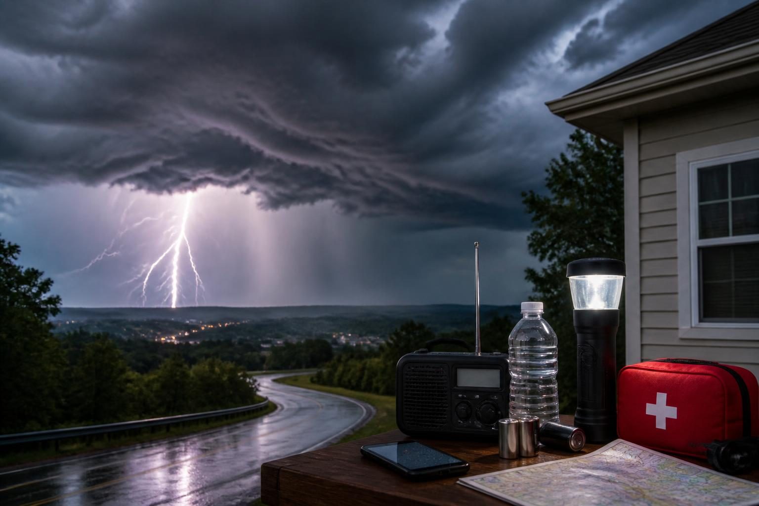
- Inspect supplies such as drinking water, medications, flashlights, batteries and portable chargers.
- Know whether you live in an evacuation zone and identify nearby shelters or alternate destinations.
- Follow local emergency management agencies and the National Weather Service rather than relying on social-media posts or unofficial forecast maps.
People who live on boats or work offshore should pay particular attention to marine forecasts, since disturbances can produce rough seas and squalls even when they do not become named storms.
What happens next
The National Hurricane Center will continue issuing routine Tropical Weather Outlooks and will update formation probabilities as new satellite data, surface observations and forecast guidance become available. If either system becomes a tropical depression, the center may begin issuing advisories with an official position, forecast track and wind forecast. If it reaches tropical-storm strength, it would receive the next available name on the 2026 Atlantic naming list.
The disturbance near Bermuda could remain short-lived and pass well to the northeast, as currently forecast. The eastern Atlantic wave has more time over the ocean, so forecasters will watch whether its thunderstorms become more organized as it moves westward across the tropical Atlantic. At this stage, the forecast does not establish a threat to Florida or any other U.S. coast.
NOAA’s broader 2026 seasonal outlook calls for a below-normal Atlantic hurricane season as the most likely outcome, while emphasizing that a seasonal outlook cannot predict whether a particular location will experience a storm or landfall. Seasonal averages do not eliminate risk: even a below-normal season can produce a dangerous hurricane. ([cpc.ncep.noaa.gov](https://www.cpc.ncep.noaa.gov/products/outlooks/hurricane.shtml))
Bottom line: WFLA is trending because Atlantic tropical development is being closely watched during a busy part of the hurricane calendar. The verified situation on August 24 is watchful but not an emergency for Florida: two disturbances are being monitored, no Atlantic tropical cyclone is active, and no Florida threat has been established.