Tropical Storm Moke is driving a surge of online interest in the word “storm” as the system passes south of Hawaii and sends heavy rain, gusty winds and dangerous surf toward the islands. The immediate concern is not a direct landfall by the storm’s center, but the risk that its moisture will produce flash flooding—especially on Hawaii Island, also known as the Big Island—while the ground remains vulnerable from recent heavy rainfall.
The National Weather Service’s Central Pacific Hurricane Center reported early Sunday, August 23, that Moke had maximum sustained winds of about 45 mph and was moving west at roughly 15 mph. Forecasters said the system was expected to pass south of the Big Island and then continue well south of the smaller main Hawaiian Islands. No coastal watches or warnings were in effect in that advisory, although marine hazards and land-based flood and wind alerts remained important. ([forecast.weather.gov](https://forecast.weather.gov/product.php?issuedby=CP3&product=TCP&site=NWS&utm_source=openai))
Why “storm” is trending now
Search interest is being fueled by a combination of an active tropical system, a high risk of flooding and the timing of Moke’s arrival. Hawaii is still dealing with the effects of Hurricane Lala, according to reporting from The Associated Press and other outlets. That recent weather has left some areas more susceptible to runoff, road closures, mudslides and additional damage when new rain arrives. ([apnews.com](https://apnews.com/article/48d2a051c3265b09e70db5111f72b91d?utm_source=openai))
Moke is also affecting more than one type of weather risk. Rain bands associated with the storm are moving toward the islands, while the pressure difference between Moke and a high-pressure area to the north is helping strengthen trade winds. Those winds can create rough seas, hazardous surf and difficult conditions for small boats even when a storm’s center remains offshore.
For people searching broadly for “storm,” the trend therefore reflects both immediate local concerns in Hawaii and wider public interest in the 2026 hurricane season. But the verified story behind the current spike is Tropical Storm Moke and its expected effects across the Hawaiian Islands.
What forecasters are watching
Heavy rain on the Big Island
The most significant land-based concern is flooding on the windward and southeast portions of the Big Island. A flood watch issued by the National Weather Service covered Hawaii Island through Monday afternoon. The agency said rainfall totals of 5 to 10 inches were possible in vulnerable areas, with locally higher amounts of up to 15 inches. It also warned that saturated ground means even less rain than those totals could trigger rapid runoff and flash flooding. ([forecast.weather.gov](https://forecast.weather.gov/showsigwx.php?firewxzone=HIZ337&lat=19.075&local_place1=Hawaiian+Ocean+View+HI&lon=-155.7474&product1=Flood+Watch&warncounty=HIC001&warnzone=HIZ051&utm_source=openai))
A flood watch means conditions are favorable for flooding; it does not mean that flooding is occurring everywhere within the watch area. Residents should rely on local warnings for more specific instructions. A flash flood warning, by contrast, indicates that flooding is occurring or is about to occur and requires immediate action.
The National Weather Service office in Honolulu said rainfall would be heaviest along windward slopes and in southeastern parts of the Big Island. Forecast discussions also noted that rainfall could spread to Maui County and the windward sides of Oahu and Kauai, although impacts were expected to be less widespread than on Hawaii Island. ([forecast.weather.gov](https://forecast.weather.gov/product.php?format=CI&glossary=0&highlight=on&issuedby=HFO&product=AFD&site=NWS&version=1&utm_source=openai))
Gusty winds and rough seas
Moke’s strongest winds were expected to remain concentrated around the storm’s circulation and offshore waters. Even so, locally strong trade winds were forecast across the islands, with wind advisories issued for portions of the Big Island and Maui in the latest available National Weather Service discussions. Wind can be stronger over ridgelines, mountain passes and exposed coastal areas.
Marine conditions are another concern. Forecasts called for elevated seas and tropical-storm conditions in parts of the Hawaiian offshore waters. The National Weather Service also warned that storm-generated swells and wind-driven waves could create dangerous surf and rip currents. These hazards can affect beaches some distance from the storm’s center and may persist after the worst rainfall passes. ([forecast.weather.gov](https://forecast.weather.gov/shmrn.php?mz=phz180&syn=phz105&utm_source=openai))
Is Moke expected to hit Hawaii directly?
Based on the latest advisory available for this report, the storm’s center was forecast to pass south of the Big Island rather than cross directly over land. That distinction matters, but it does not eliminate the risk of significant weather. Tropical cyclones can produce heavy rainfall and strong winds well away from their centers, particularly when moisture is drawn toward an island’s mountainous terrain.
The National Weather Service said Moke was moving generally west and was likely to weaken as it moved into a more hostile environment. Forecasters cited moderate wind shear and dry air in the storm’s path, conditions that can disrupt the thunderstorms needed to maintain or strengthen a tropical cyclone. The agency said Moke could become a post-tropical cyclone by the middle of the week. ([forecast.weather.gov](https://forecast.weather.gov/product.php?issuedby=CP3&product=TCP&site=NWS&utm_source=openai))
“Post-tropical” does not mean that all hazards stop immediately. It describes a storm that no longer has the characteristics of a tropical cyclone. Rain, wind, high surf or leftover moisture can still affect communities after a system loses its tropical classification.
Why recent rainfall makes this system more concerning
Flood risk depends on more than the total amount of rain forecast. Soil conditions, terrain, drainage, stream levels and the rate at which rain falls all influence whether water rises quickly. Mountainous islands such as Hawaii can see sharp differences in rainfall over short distances, and steep slopes can accelerate runoff into streams and low-lying areas.
That is why officials are emphasizing areas affected by recent rain. If soil is already saturated, it has less capacity to absorb new water. Roads near streams, drainage channels and low-water crossings can become dangerous quickly, even if rainfall at a particular location does not appear extreme.
The latest local forecast discussion said rainfall rates were initially relatively light in parts of the Puna and Hilo districts, but that conditions could become wetter as wind direction changed. This illustrates an important limitation of early observations: light rain at one time and place does not rule out heavier bands later or heavier rainfall nearby. ([forecast.weather.gov](https://forecast.weather.gov/product.php?format=CI&glossary=0&highlight=on&issuedby=HFO&product=AFD&site=NWS&version=1&utm_source=openai))
What residents and visitors should do
- Check local alerts. Follow the National Weather Service Honolulu office, county emergency-management agencies and local authorities for flash flood warnings, road closures and evacuation instructions.
- Do not drive through floodwater. Water can conceal washed-out pavement, debris or damaged bridges. A vehicle can lose traction or float in surprisingly shallow moving water.
- Stay away from streams and drainage channels. Water levels can rise quickly, including in areas where rain has not fallen heavily.
- Secure loose outdoor items. Gusty winds can move furniture, signs, branches and other objects, especially in exposed locations.
- Use caution near the ocean. Larger waves, rip currents and changing surf conditions can make beaches unsafe even when skies appear calm.
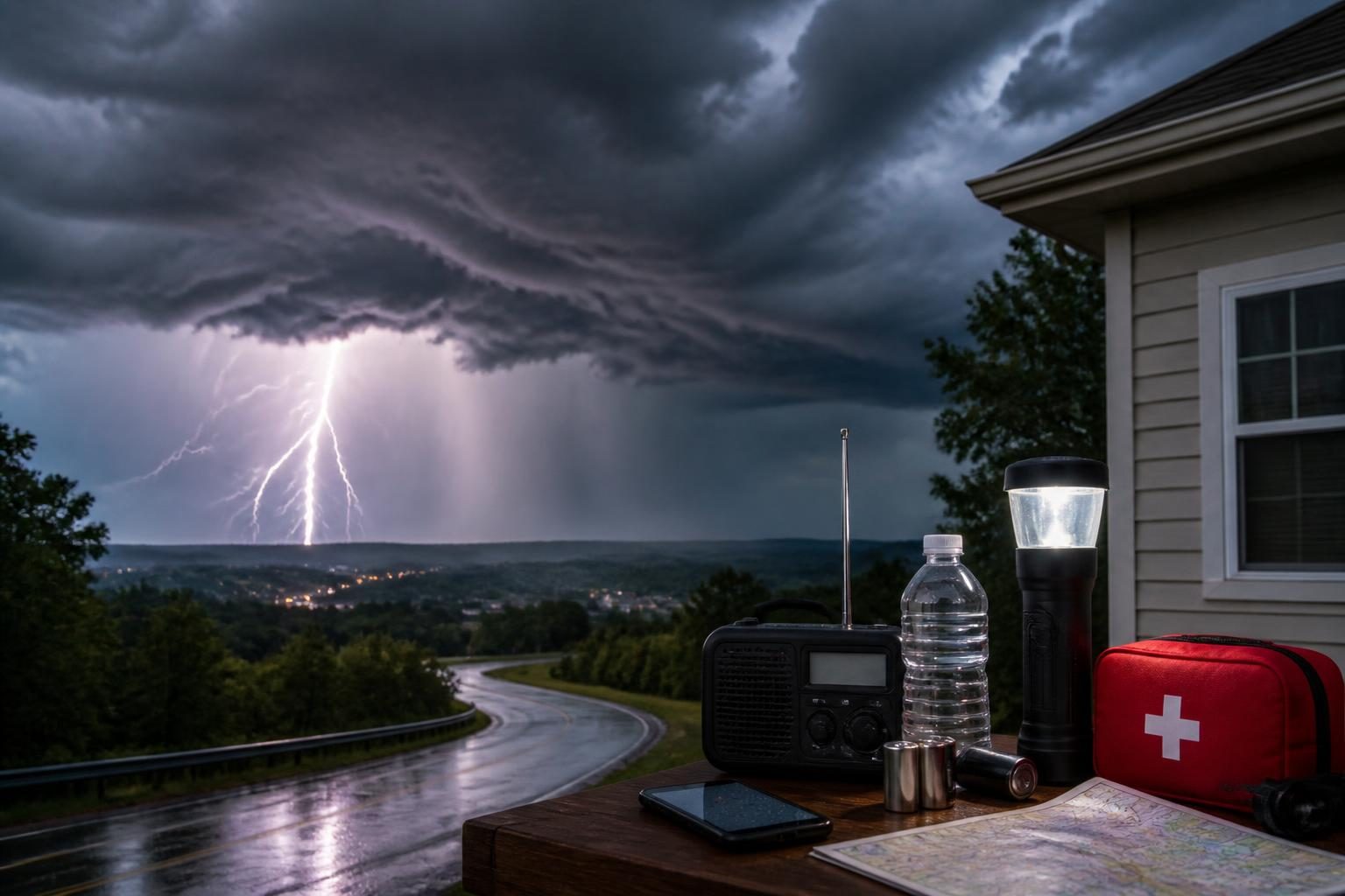
- Prepare for interruptions. Heavy rain and wind can affect electricity, communications, travel and access to roads. Keeping phones charged and having water, medications and basic supplies available can reduce risk.
Visitors should pay particular attention to local instructions rather than relying only on the storm’s category or the distance from the center. A tropical storm that stays offshore can still create dangerous conditions for hikers, beachgoers, boaters and drivers.
What happens next
Forecasters will continue updating Moke’s track, intensity and rainfall projections as new satellite, radar, aircraft and surface observations arrive. The next phase of the event will depend less on whether the storm strengthens dramatically and more on where its rain bands move, how long moisture remains over the islands and how saturated the ground becomes.
The Honolulu forecast office expected trade winds to ease Monday and Tuesday as Moke moved westward away from Hawaii, with drier trade-wind weather returning around midweek. That is a forecast, not a guarantee; localized showers, flooding and marine hazards can continue after the main circulation has moved away. ([forecast.weather.gov](https://forecast.weather.gov/product.php?format=CI&glossary=0&highlight=on&issuedby=HFO&product=AFD&site=NWS&version=1&utm_source=openai))
For now, the clearest verified message is straightforward: Moke’s center is expected to remain south of the main Hawaiian Islands, but its moisture and wind field are still capable of producing dangerous conditions. The highest priority is monitoring official warnings, avoiding floodwater and taking coastal and marine hazards seriously.