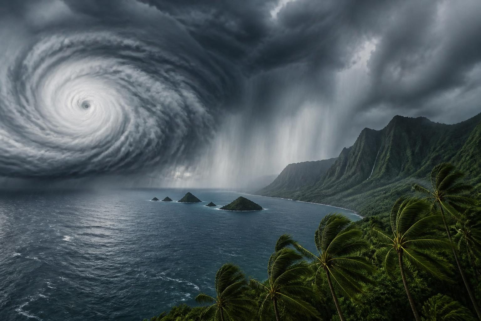
Tropical Storm Moke is approaching Hawaii from the southeast, bringing periods of heavy rain, strong trade winds and a heightened risk of flash flooding through Monday, August 24. The storm is expected to pass south of the main Hawaiian Islands rather than make a direct landfall, but forecasters say that distinction does not eliminate the danger, especially on the Big Island, where the ground is already saturated from recent heavy rain.
The trend is drawing attention because Moke is arriving shortly after Hurricane Lala affected the region. The back-to-back systems have raised concern about additional flooding, mudslides, road closures and power disruptions even if Moke’s strongest winds remain offshore.
What officials are forecasting
The National Weather Service office in Honolulu said late Saturday, August 22, that Moke would move generally from east to west south of the islands. Periods of rain were expected across Hawaii from late Saturday night through Monday, with the heaviest rainfall forecast along windward and southeast-facing slopes of the Big Island. Drier trade-wind weather was expected to return Tuesday, August 25. ([preview-forecast.weather.gov](https://preview-forecast.weather.gov/product.php?format=TXT&glossary=0&issuedby=HFO&product=AFD&site=TBW&version=1&utm_source=openai))
A Flood Watch was in effect for the Big Island from late Saturday night through Monday afternoon. The watch covered areas including the east, southeast, north, south, interior and summit sections of the island, as well as Kona and Kohala. The National Weather Service warned that five to 10 inches of rain could fall across the windward and southeast slopes, with locally higher totals of up to 15 inches possible. ([forecast.weather.gov](https://forecast.weather.gov/product.php?format=CI&glossary=1&issuedby=HFO&product=FFA&site=NWS&version=1&utm_source=openai))
A flood watch means conditions are favorable for flooding; it is not the same as a flood warning, which indicates that flooding is occurring or is imminent. Residents and visitors should continue monitoring official alerts because watches and warnings can change as the storm’s rain bands move closer.
Where the greatest risk is concentrated
Big Island flooding
The Big Island faces the clearest threat because Moke’s moisture is expected to feed rain into its windward and southeastern terrain. Mountains can force moist air upward, producing persistent rainfall over the same areas. That process, known as orographic lift, can make rainfall totals much higher on slopes than in nearby lowland locations.
Forecasters also emphasized the condition of the ground. Recent rainfall has left some areas saturated, meaning less additional rain may be needed to produce rapid runoff, overflowing streams or flash flooding. Flood-prone roads, low-lying areas and urban locations could be affected, according to the Honolulu forecast office. ([forecast.weather.gov](https://forecast.weather.gov/product.php?format=CI&glossary=1&issuedby=HFO&product=FFA&site=NWS&version=1&utm_source=openai))
Wind and marine conditions
Moke’s circulation was expected to strengthen the pressure difference between the storm and high pressure north of Hawaii. That setup can increase easterly trade winds across the islands even when the storm’s center remains offshore.
The National Weather Service had a Wind Advisory in effect through 6 p.m. Hawaii Standard Time Sunday, August 23, for portions of the Big Island and Maui County. Small Craft Advisories also covered multiple channels and coastal waters, where stronger winds and rougher seas can create hazardous conditions for boaters. ([forecast.weather.gov](https://forecast.weather.gov/product.php?issuedby=HFO&product=AFD&site=hfo&utm_source=openai))
For coastal communities, the principal concerns described by local forecasters were heavy rain, gusty winds, rough seas and elevated surf. The exact effects vary by island, elevation, exposure and the location of Moke’s rain bands.
How strong is Tropical Storm Moke?
Moke became a tropical storm on Friday, August 21, after strengthening from a tropical depression. In its Saturday evening discussion, the Central Pacific Hurricane Center said the storm had weakened slightly during the preceding hours as dry air and southwesterly vertical wind shear disrupted its thunderstorms. Vertical wind shear is a change in wind speed or direction with height; strong shear can tilt or tear apart a tropical cyclone’s circulation. ([prod-east-nhc.woc.noaa.gov](https://prod-east-nhc.woc.noaa.gov/mobile/text/refresh/HFOTCDCP3%2Bhtml/230239.shtml?utm_source=openai))
That weakening trend does not mean the storm is harmless. Tropical cyclones can deliver dangerous rainfall well beyond the area of their strongest winds, and Hawaii’s steep terrain can amplify flooding impacts. In this case, the official forecast focus was on rainfall and locally strong winds rather than a direct hurricane strike.
The National Hurricane Center’s central Pacific outlook issued Saturday afternoon placed Moke about 400 miles southeast of Hilo, Hawaii. A later Saturday-night outlook placed the storm about 350 miles south-southeast of Hilo. ([forecast.weather.gov](https://forecast.weather.gov/product.php?format=CI&glossary=1&issuedby=CP&product=TWO&site=CAE&version=1&utm_source=openai))
Why Moke is trending now
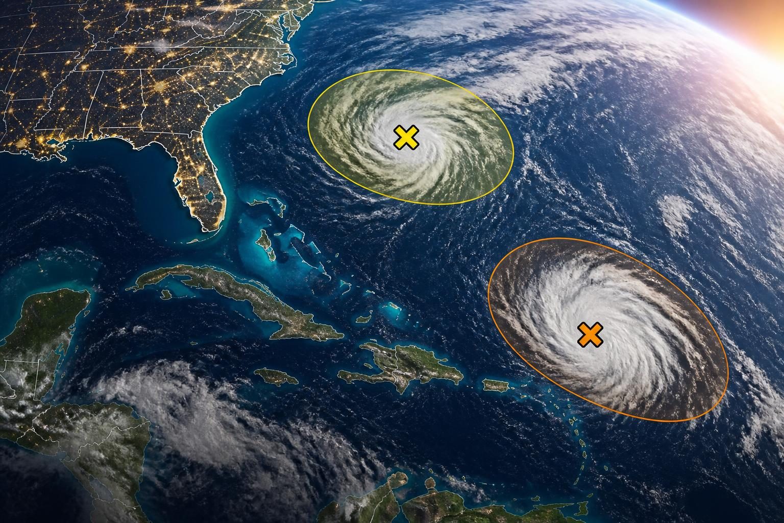
Search interest is being driven by the storm’s proximity to Hawaii and by the timing of its arrival after Hurricane Lala. The Weather Channel’s tracking report identified Moke as one of the active systems in the Pacific and highlighted forecast maps, model guidance and rainfall conditions around the islands. ([weather.com](https://weather.com/2026/08/22/storms/hurricane/hurricane-season-maps-tracker-atlantic-pacific))
The combination of a nearby tropical storm and already-wet ground creates a more complicated risk picture than wind speed alone suggests. A storm can remain below hurricane strength and still cause serious disruption through flash flooding, mudslides, debris flows and dangerous travel conditions.
It is also important to distinguish confirmed information from uncertainty. Officials had relatively high confidence that Moke would track west-northwest to west, south of the main islands. However, small changes in the storm’s track, size, structure or speed could alter which communities receive the heaviest rain and strongest winds.
What residents and visitors should do
- Check official alerts frequently. Follow the National Weather Service in Honolulu, the Central Pacific Hurricane Center and county emergency-management agencies for updates specific to your location.
- Do not drive through flooded roads. Water may be deeper or moving faster than it appears, and road conditions can deteriorate quickly.
- Prepare for strong winds. Secure outdoor furniture, trash containers, tents, awnings and other loose objects. Be ready for isolated power outages and falling branches.
- Know your evacuation and shelter information. People in flood-prone areas should know where to go before conditions worsen, particularly if they live near streams, steep slopes or areas affected by recent flooding.
- Use caution near the ocean. Small craft should follow marine advisories, and swimmers should avoid rough or unfamiliar conditions, especially near channels and exposed shores.
People who receive a Flash Flood Warning should act immediately and move to higher ground or a safer location. Flash flooding can occur with little notice, especially when soil is saturated and rainfall is concentrated over steep terrain.
What happens next
Forecasters will continue to refine the track, intensity and rainfall forecasts as Moke moves past the islands. The most important updates will concern the timing and location of the storm’s deepest moisture, whether the system weakens or reorganizes, and whether additional flood warnings become necessary.
Based on the latest official forecasts available Saturday night, the most significant impacts were expected from late Saturday night through Monday, August 24, with the Big Island’s windward and southeastern slopes at greatest risk. Even after Moke moves west and weakens, lingering moisture could prolong periods of heavy rain into early next week. ([forecast.weather.gov](https://forecast.weather.gov/product.php?format=ci&glossary=0&issuedby=HI&product=PMD&site=JKL&version=1&utm_source=openai))
For the latest conditions, residents should rely on current government alerts rather than older social-media posts, forecast maps or model images. Storm forecasts can change, and local warnings take priority over broad regional outlooks.