Houston’s weather is trending because a persistent stretch of late-summer heat is pushing daytime temperatures toward 100 degrees Fahrenheit and keeping overnight lows unusually warm. The National Weather Service forecast for Houston issued Wednesday, August 19, called for highs near 99 degrees on Thursday, August 20, around 100 degrees Friday, and about 101 degrees Saturday, with additional heat continuing into early next week. ([forecast.weather.gov](https://forecast.weather.gov/MapClick.php?lat=29.761&lon=-95.37))
The forecast is consistent with recent local reporting that described August as warmer than normal so far. Axios Houston reported on August 17 that the month was running about 1 degree above normal and that heat indexes could reach triple digits through the weekend. ([axios.com](https://www.axios.com/local/houston/2026/08/17/houston-hotter-than-average-august-tempertures))
That combination—very hot afternoons, humid air and limited overnight cooling—is why searches for clima, the Spanish word for weather or climate, are attracting attention among Houston-area residents and Spanish-speaking audiences following local forecasts.
What the forecast shows for Houston
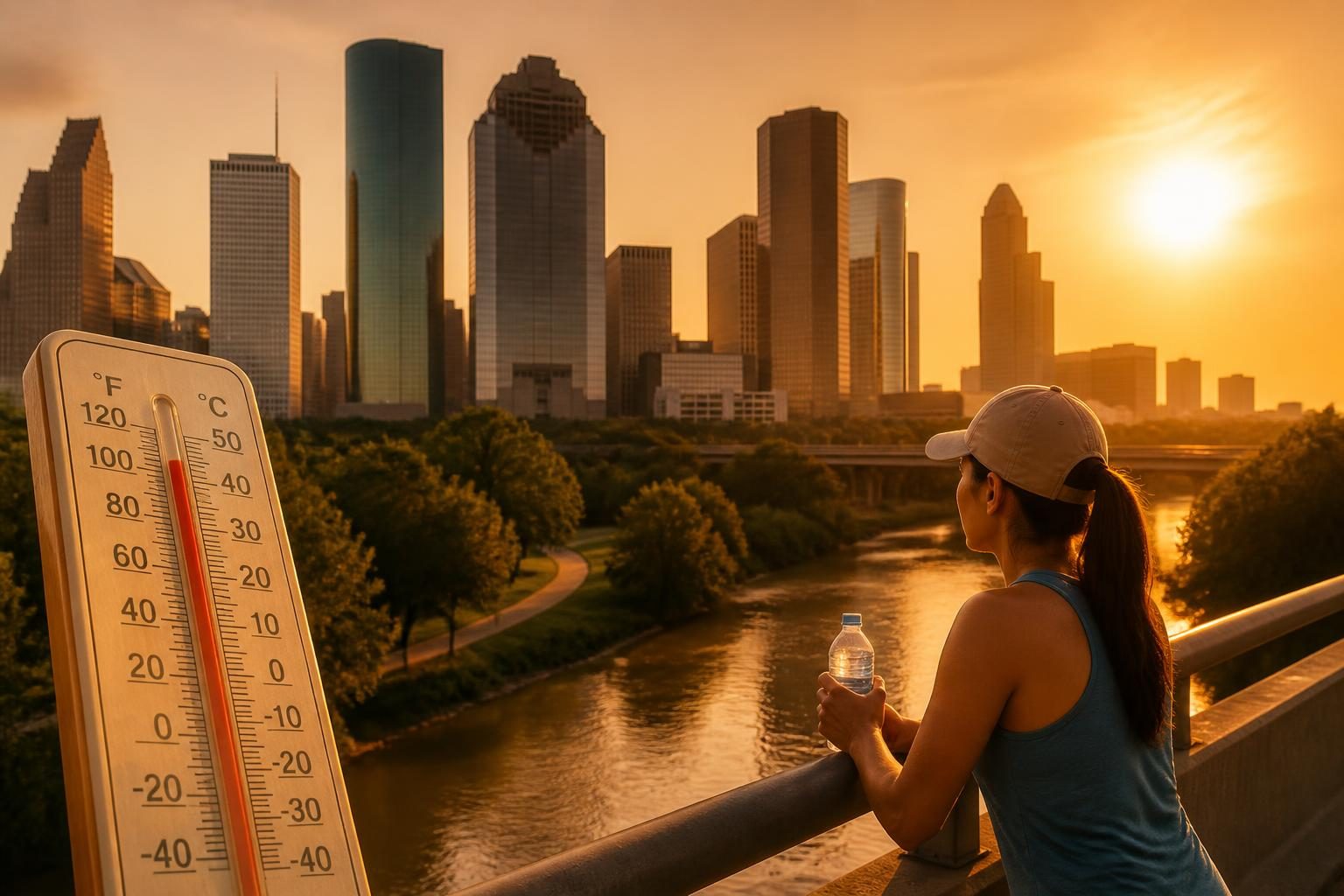
As of the National Weather Service forecast update at 9:46 a.m. CDT on August 19, Houston was expected to remain sunny and hot through the weekend. The agency forecast a high near 99 degrees Thursday, 100 degrees Friday, 101 degrees Saturday and 100 degrees Sunday. Overnight lows were expected to remain near 80 or 81 degrees. ([forecast.weather.gov](https://forecast.weather.gov/MapClick.php?lat=29.761&lon=-95.37))
The National Weather Service also projected heat-index values as high as 105 degrees Thursday. The heat index is an estimate of how hot conditions feel when humidity is combined with air temperature. It is not the same as the thermometer reading, but it is a useful measure of how quickly the body can become overheated.
The forecast available Wednesday did not show a broad, immediate cooldown. It called for highs near 99 degrees Monday and 98 degrees Tuesday, although forecasts several days out can change as weather patterns evolve. The agency’s forecast was valid through August 25, 2026, and should not be treated as a guarantee for every neighborhood or outdoor location. ([forecast.weather.gov](https://forecast.weather.gov/MapClick.php?lat=29.761&lon=-95.37))
Why the heat is getting attention
Houston’s normal high temperature on August 20 is 90 degrees, according to the National Weather Service’s Houston climate records. The normal low is 70 degrees. That means the forecast high near 99 degrees would be roughly 9 degrees above the long-term normal for the date, while overnight temperatures near 81 degrees would also be well above normal. ([weather.gov](https://www.weather.gov/media/hgx/climate/Climate%20PDFs/Houston_ObservedAndNormals_new.pdf))
Warm nights are an important part of the story. People and buildings have less opportunity to cool down when temperatures remain close to 80 degrees after sunset. Overnight heat can be especially difficult for people without reliable air conditioning, outdoor workers who begin early, older adults, young children and people with chronic medical conditions.
Houston’s humidity can further increase the strain. When the air contains more moisture, sweat evaporates less efficiently. Because evaporation is one of the body’s main cooling mechanisms, humid conditions can make a given air temperature feel significantly hotter than it would in a dry climate.
Axios, citing National Weather Service meteorologist Cameron Self, reported that Houston’s urban heat island and the warm Gulf of Mexico can help keep nighttime temperatures elevated. An urban heat island occurs when roads, buildings and other surfaces absorb heat during the day and release it slowly after sunset. ([axios.com](https://www.axios.com/local/houston/2026/08/17/houston-hotter-than-average-august-tempertures))
Air temperature and heat index are different risks
A forecast high of 100 degrees does not mean every location in the Houston area will record exactly 100 degrees. Temperatures vary by neighborhood, elevation, proximity to the coast, land cover and weather-station location. Airports and official observing sites provide standardized measurements, but conditions in a shaded residential area may differ from those on pavement or near a building.
The heat index also varies. The National Weather Service Houston-Galveston office recently displayed observations across the region showing heat-index values ranging from the 90s to above 100 degrees at different sites and times. That illustrates why local conditions matter and why people should check the forecast for their city or county rather than relying only on a single Houston reading. ([weather.gov](https://www.weather.gov/hgx/https/alerts.weather.gov/cap/wwaatmget.php?x=TXZ226&y=1))
Heat alerts are based on local conditions and expected health impacts, not on the air temperature alone. Axios reported that the National Weather Service issues an advisory in the Houston area when the heat index is expected to reach at least 108 degrees, although alert thresholds can differ by location and product. ([axios.com](https://www.axios.com/local/houston/2026/08/17/houston-hotter-than-average-august-tempertures))
No specific active heat warning or advisory should be inferred solely from the extended forecast cited here. Residents should check the National Weather Service’s current alerts before making plans, because watches, warnings and advisories can be issued or canceled as conditions change.
What residents can do during the hottest hours
The safest approach is to reduce exposure during the afternoon, when temperatures and heat indexes are typically highest. People who must work or exercise outside should schedule strenuous activity for early morning or evening when possible, take frequent breaks in shade or air conditioning, and drink water regularly.
- Use air conditioning or another reliable cooling space. Fans may improve comfort, but they are not a substitute for air conditioning when indoor temperatures are very high.
- Drink water before feeling thirsty. Avoid relying on alcohol or heavily caffeinated drinks for hydration during prolonged heat exposure.
- Wear lightweight, loose-fitting clothing. A hat and shade can reduce direct sun exposure, but they do not eliminate the risk from high air temperature and humidity.
- Check on people at higher risk. Older adults, infants, people with certain health conditions and people who live alone may need additional help staying cool.
- Never leave children, older adults or pets in a parked vehicle. Interior temperatures can rise rapidly even when windows are partly open.
- Watch for symptoms. Heavy sweating, weakness, dizziness, nausea, headache and muscle cramps can signal heat exhaustion. Confusion, fainting, seizures or hot skin can indicate a medical emergency requiring immediate help.
Anyone experiencing signs of heat stroke should call 911, move the person to a cooler place and begin cooling the body while waiting for emergency responders. Do not give fluids to someone who is unconscious or unable to drink safely.
What remains uncertain
The confirmed short-term signal is heat: the official forecast shows several days near or above 100 degrees, and local reporting indicates that August has been warmer than normal. What is not yet certain is the exact peak temperature at every location, whether storms will develop in isolated areas, and how long the heat will persist beyond the current forecast window.
A forecast several days ahead is useful for planning, but it can change because of cloud cover, sea-breeze boundaries, thunderstorms and shifts in atmospheric pressure. Rain can lower temperatures in one part of the metropolitan area while another part remains hot and dry.
There is also a difference between describing a weather pattern and attributing it to a single cause. The current forecast establishes what conditions are expected. It does not, by itself, prove why this particular spell is occurring or determine how much of it is related to long-term climate change. Those questions require broader analysis using long-term observations and climate studies.
What happens next
For Houston residents, the immediate priority is practical: monitor official updates, limit time in peak heat and prepare for several warm nights. The National Weather Service forecast available on August 19 showed little relief through the weekend, with temperatures remaining near 100 degrees into Sunday and continuing at elevated levels early the following week. ([forecast.weather.gov](https://forecast.weather.gov/MapClick.php?lat=29.761&lon=-95.37))
People planning outdoor events, travel or physically demanding work should check the hourly forecast and current alerts on the day of the activity. Conditions can vary substantially across Harris County and the surrounding region, so a forecast for downtown Houston may not describe what is happening in Katy, Sugar Land, Pearland, Galveston or farther inland.
The broader takeaway is straightforward: Houston is experiencing a notably hot period for August 20, 2026, with humidity and warm overnight temperatures adding to the health risk. The weather is not just about the afternoon high; the full pattern—including how hot it feels and whether the body gets a chance to recover at night—matters most for people’s safety.